Technical Visual Documentation & Imaging
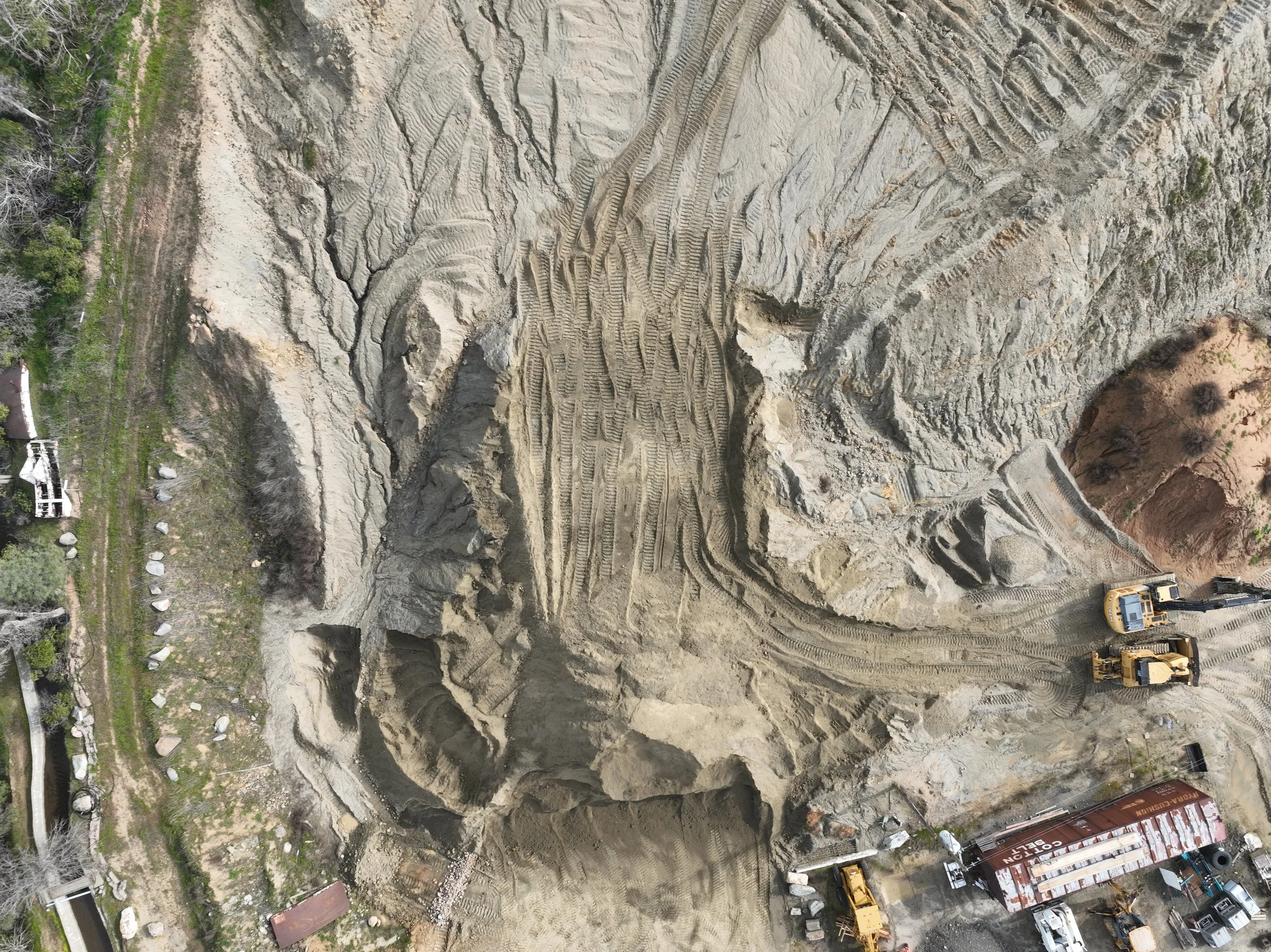
High-resolution aerial photography, orthomosaic mapping, commercial photography, and site documentation for infrastructure, environmental, tourism, and public-sector projects.
From marketing imagery to measurable site data, each project is built to deliver both visual impact and real-world usability.
Video Capture
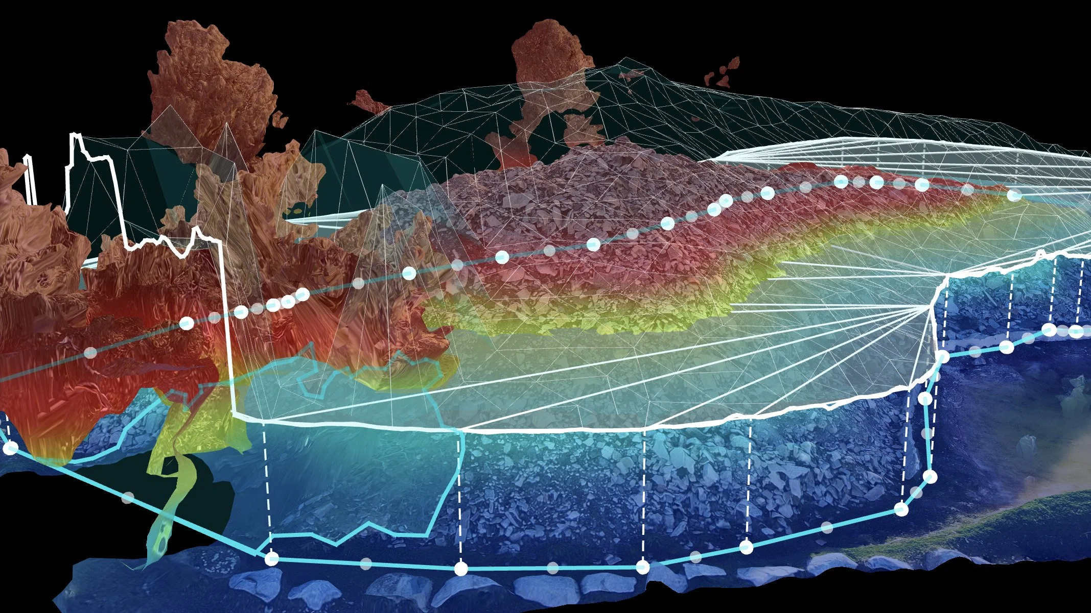
Visual Documentation for Land and Infrastructure
Clear aerial imaging, orthomosaics, and site documentation designed to track change and support real-world decisions.
We create high-resolution visual records of physical environments using aerial imaging, mapping, and repeatable site documentation workflows designed to support planning, communication, and long-term tracking.